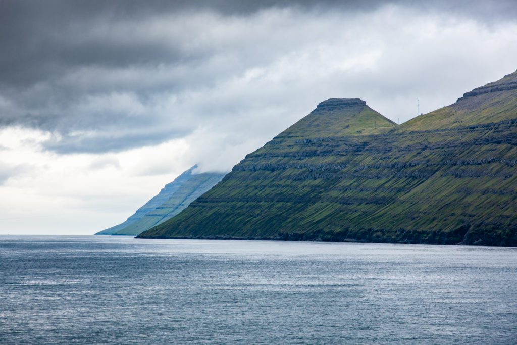
Opouštíme Faerské ostrovyPŘIBLÍŽIT
Východní fjordy, kopce u silnicePŘIBLÍŽIT
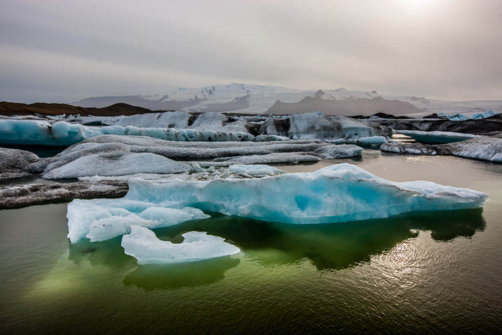
Ledovcové jezero JökulsárlónPŘIBLÍŽIT
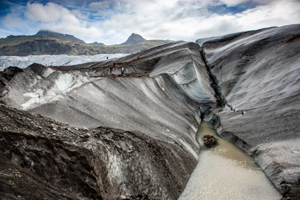
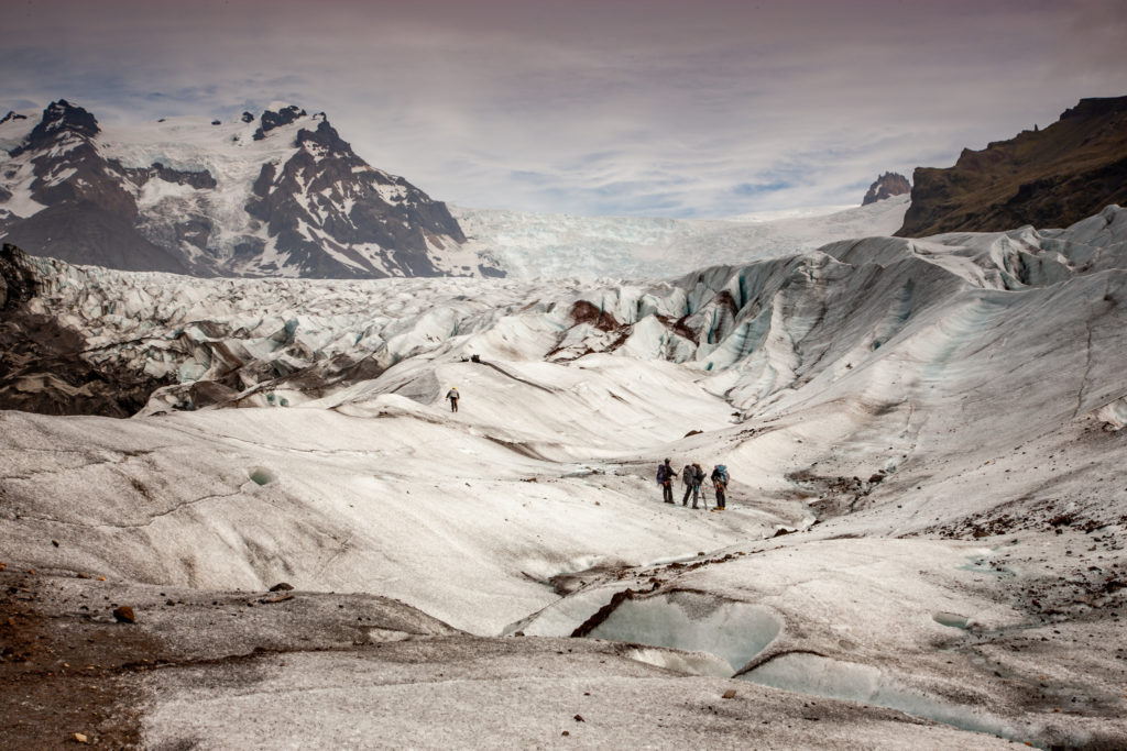
Rozbrázděný povrch ledovce SvínafellsjökullPŘIBLÍŽIT
Oblíbená kratochvíle: lezení po ledovciPŘIBLÍŽIT
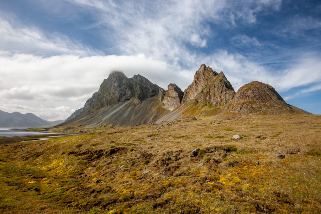
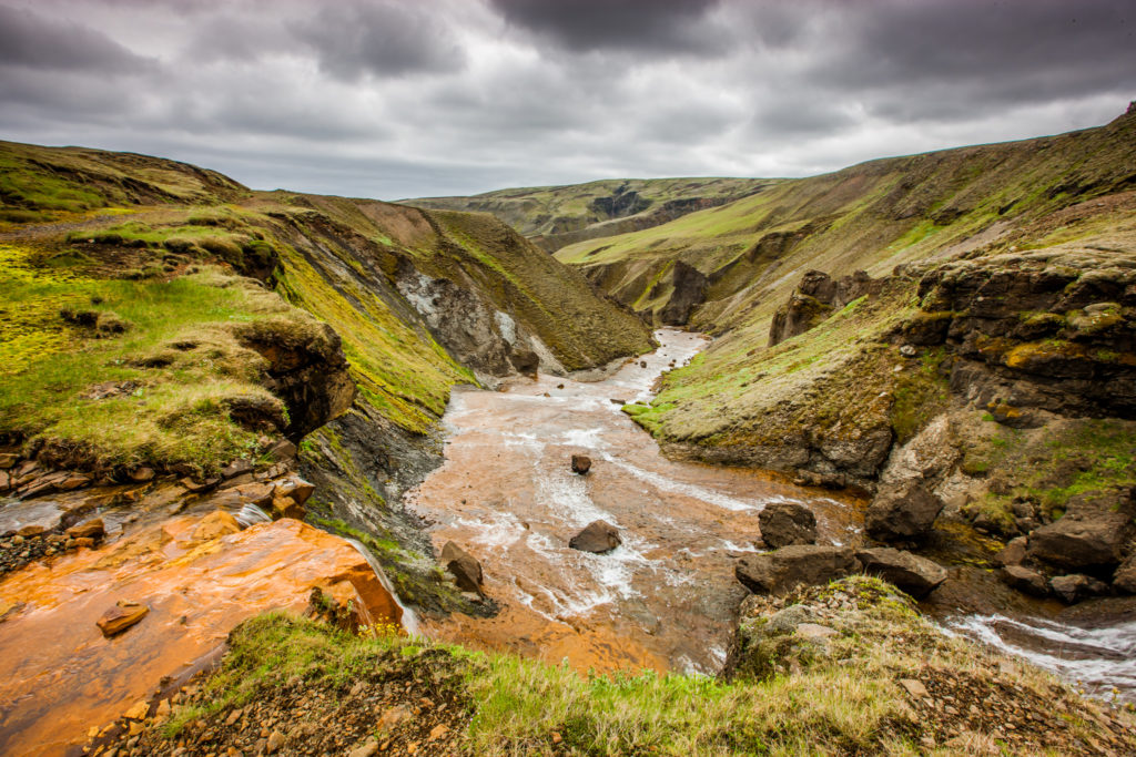
Kaňon řeky Stjórn, F206PŘIBLÍŽIT
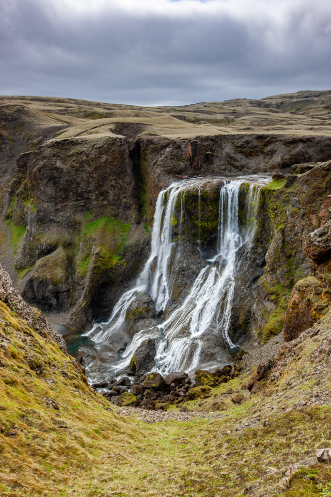
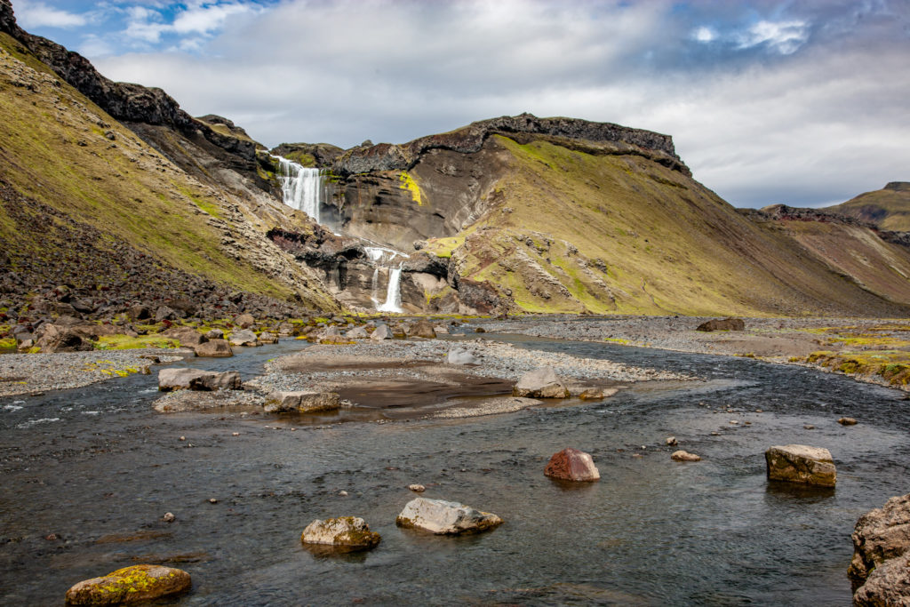
Vodopád Fagrifoss, F206PŘIBLÍŽIT
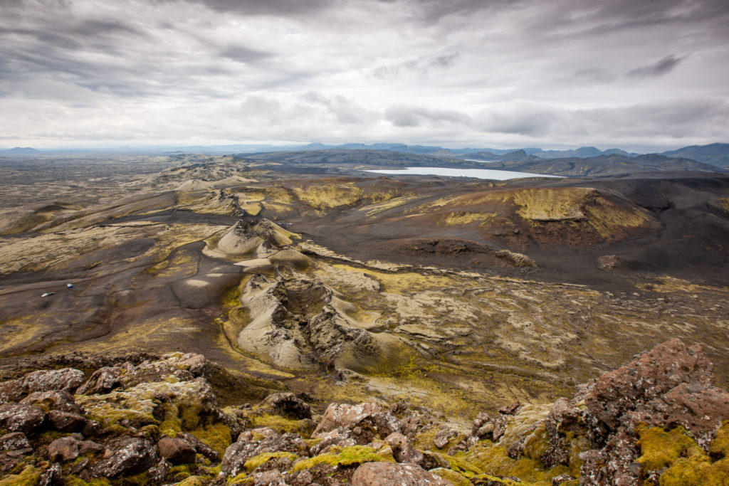
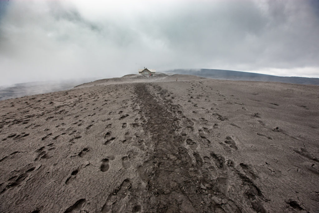
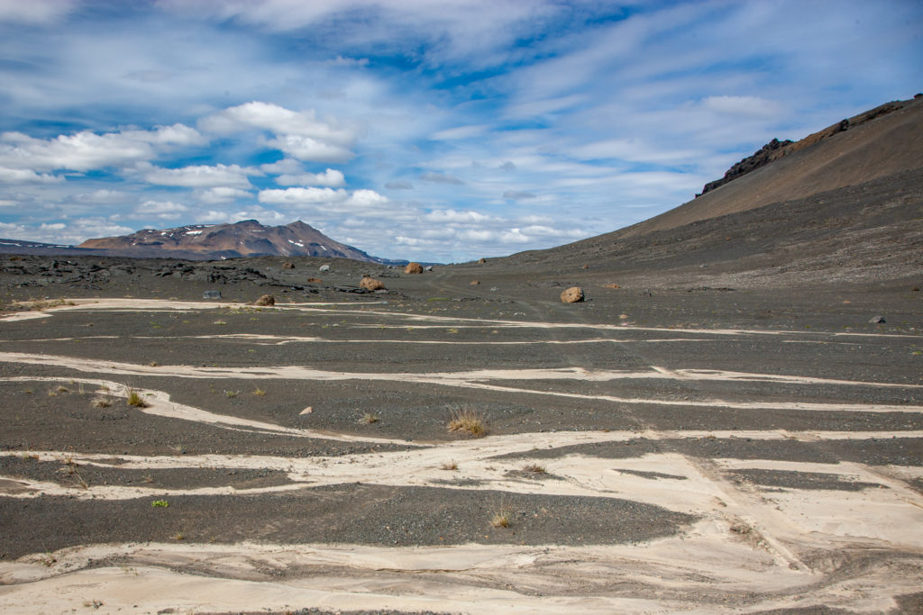
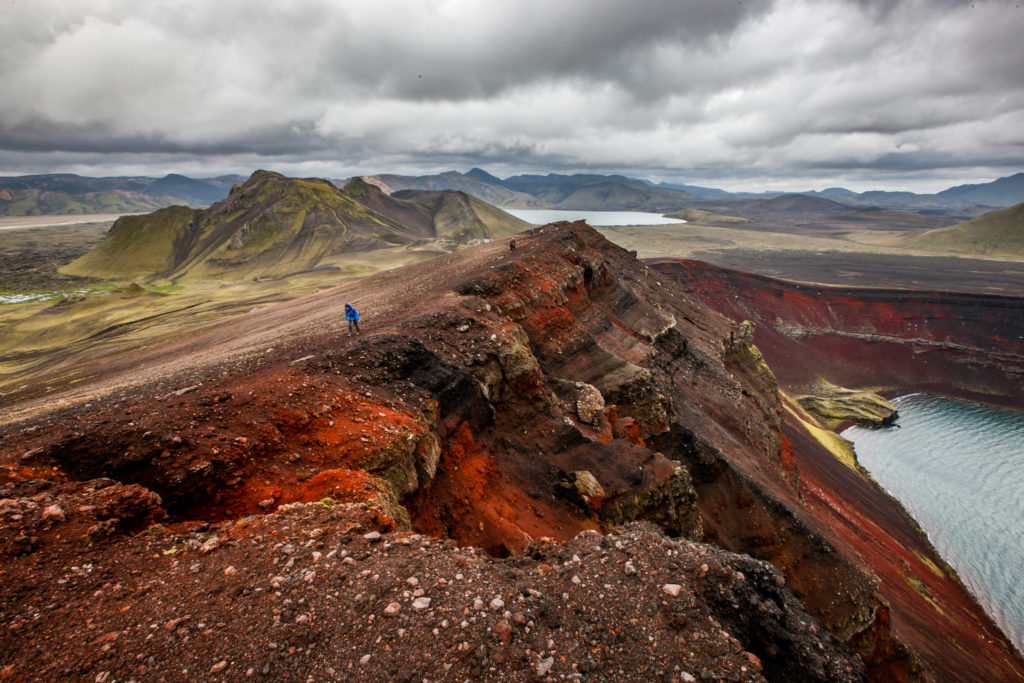
Pohled ze sopky Laki (828 m) na LakagígarPŘIBLÍŽIT
Pohled z Laki směrem na severPŘIBLÍŽIT
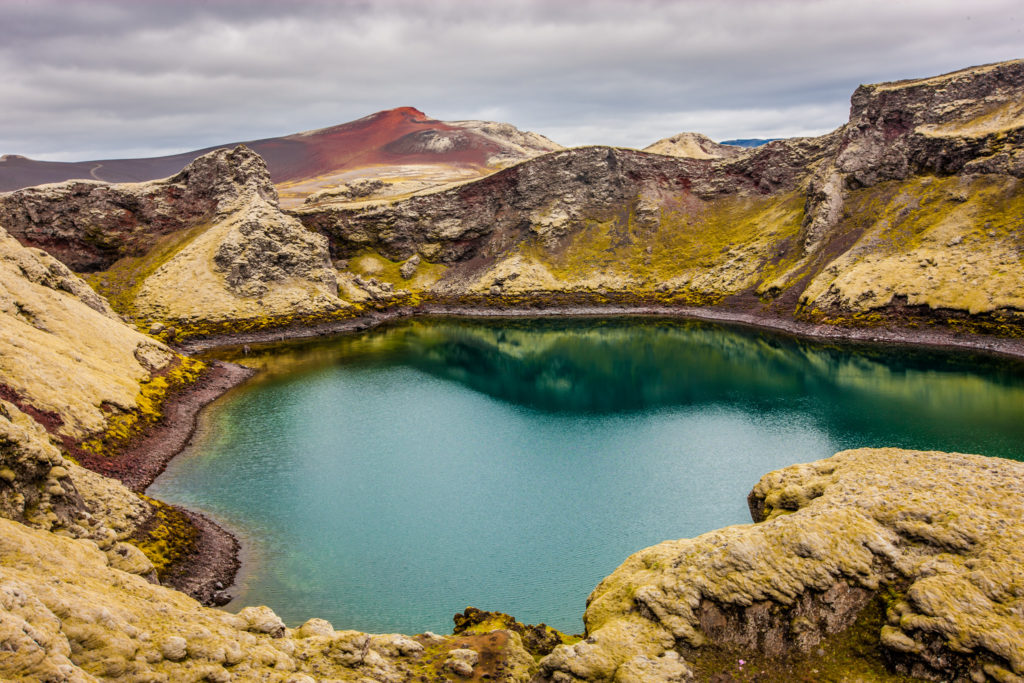
Kráter TjarnargígurPŘIBLÍŽIT
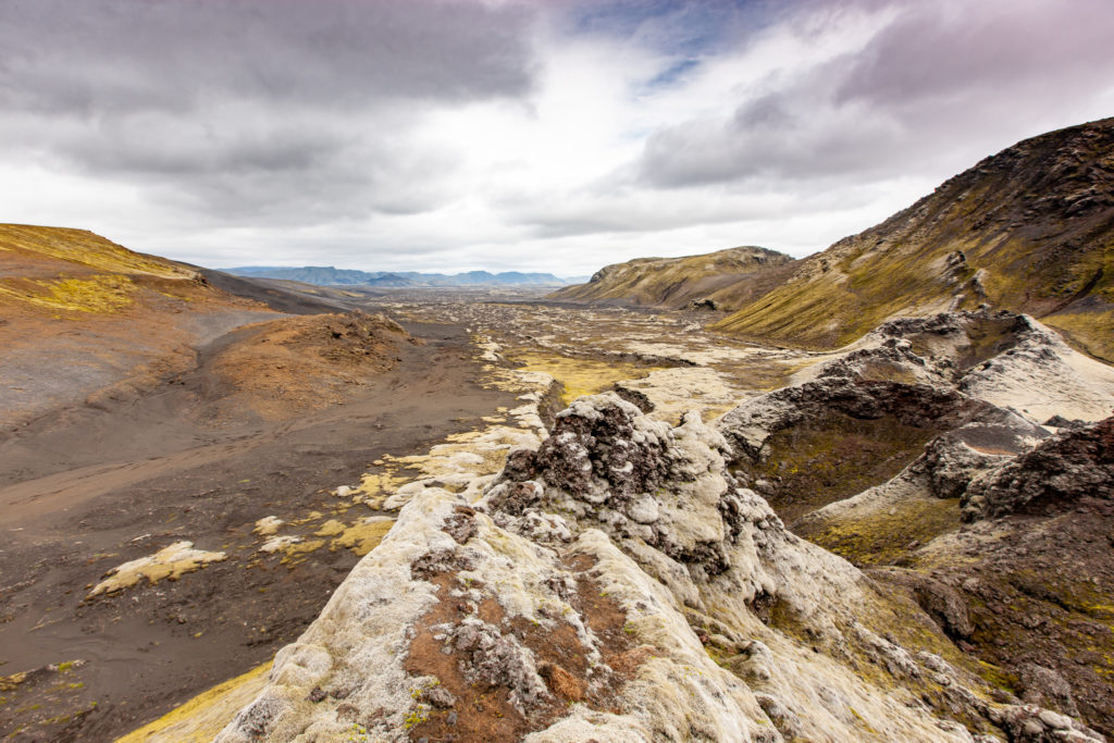
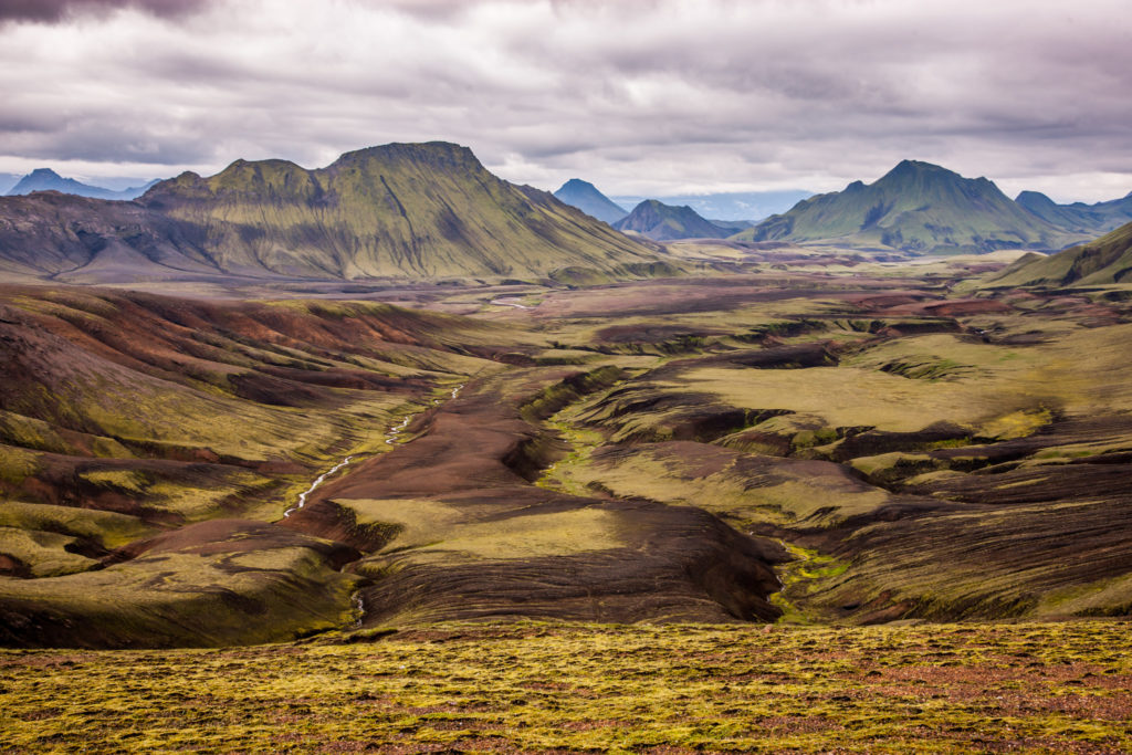
Kontrasty v LakagígarPŘIBLÍŽIT
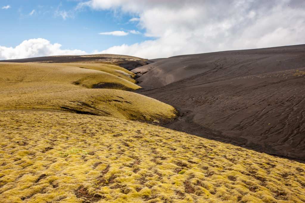
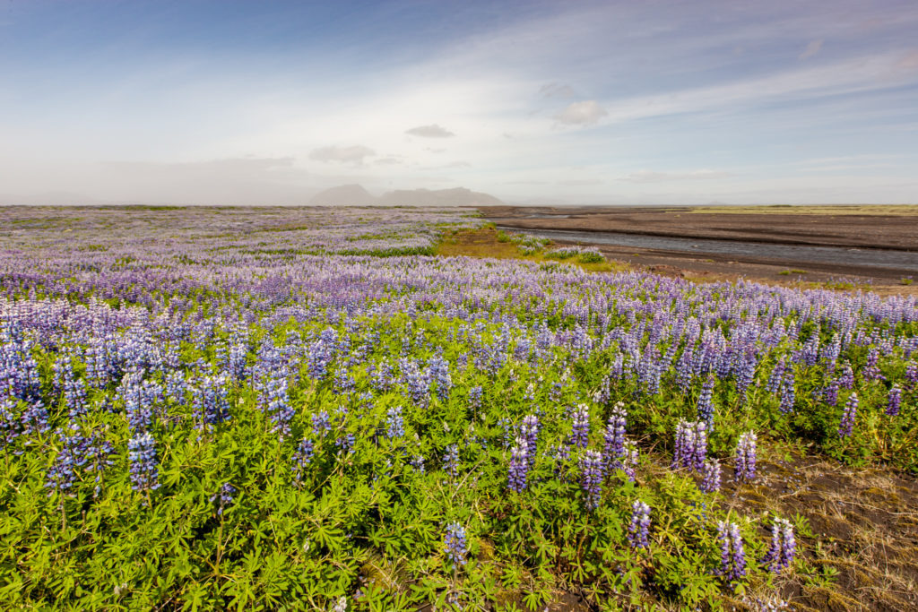
Lupina a rekultivace lávových políPŘIBLÍŽIT
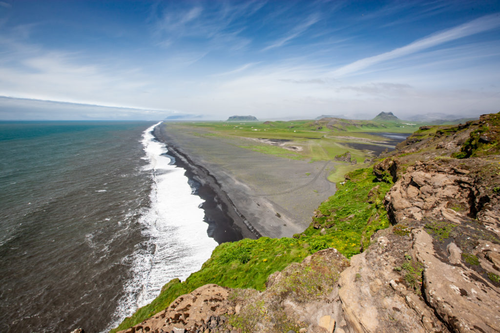
Černé pláže západně od VíkuPŘIBLÍŽIT
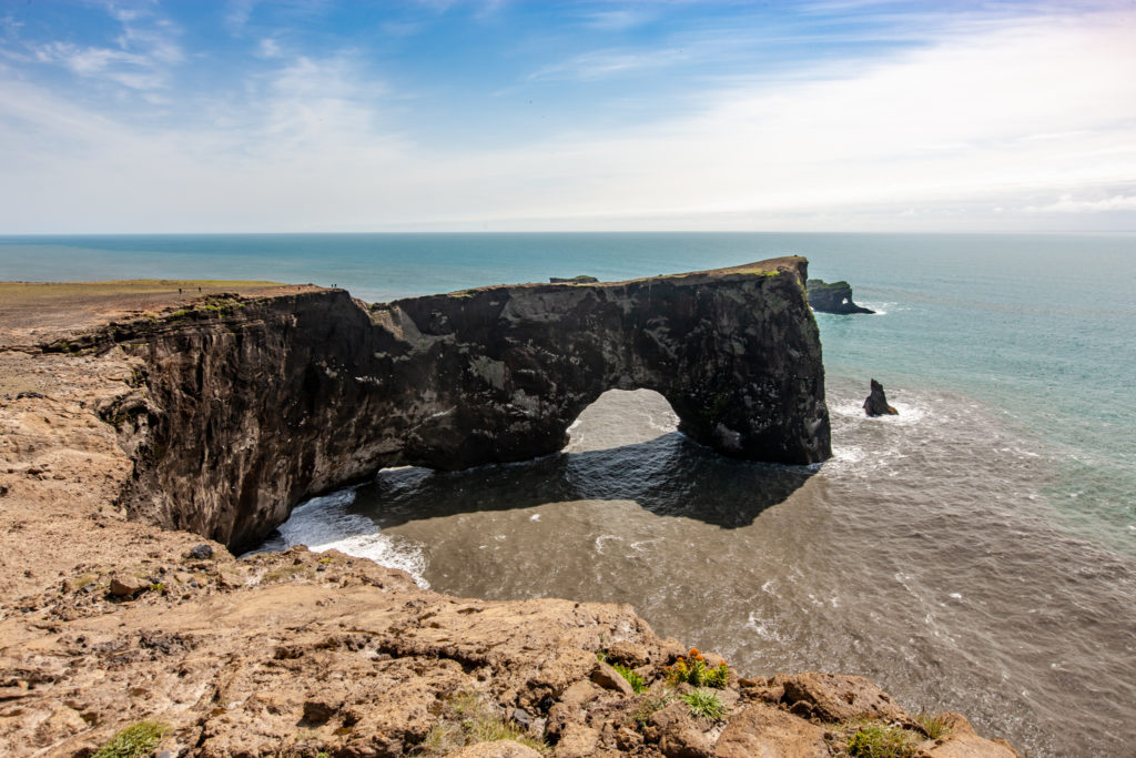
Skalní brána na útesu DýrholaeyPŘIBLÍŽIT
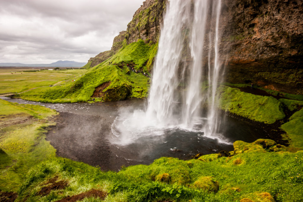
Vodopád SeljalandfossPŘIBLÍŽIT
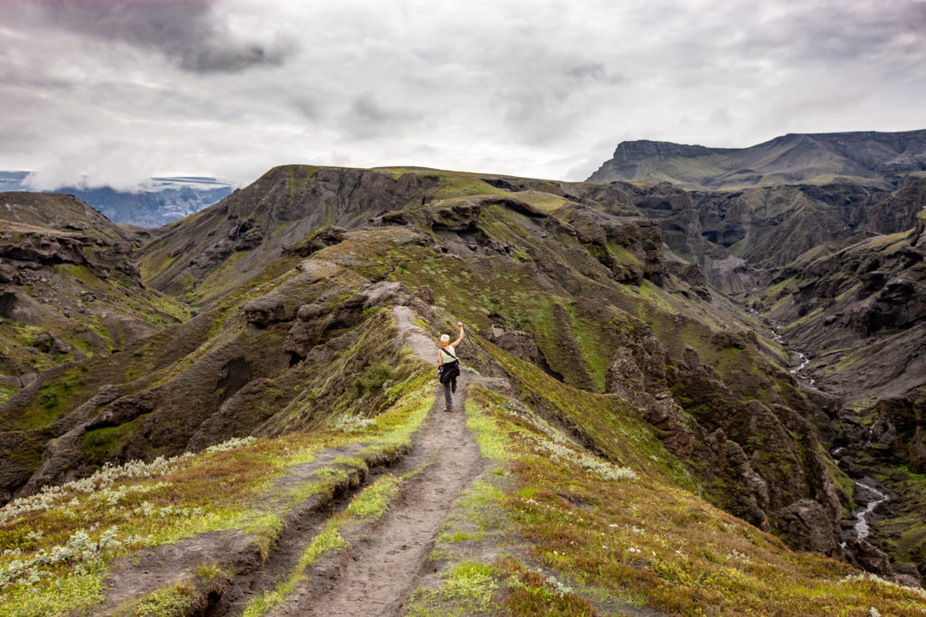
Hřeben Strákagil, trek Þórsmörk – SkógarPŘIBLÍŽIT
Chata v sedle FimmvörðuhálsPŘIBLÍŽIT
Kráter sopky EyjafjallajökullPŘIBLÍŽIT
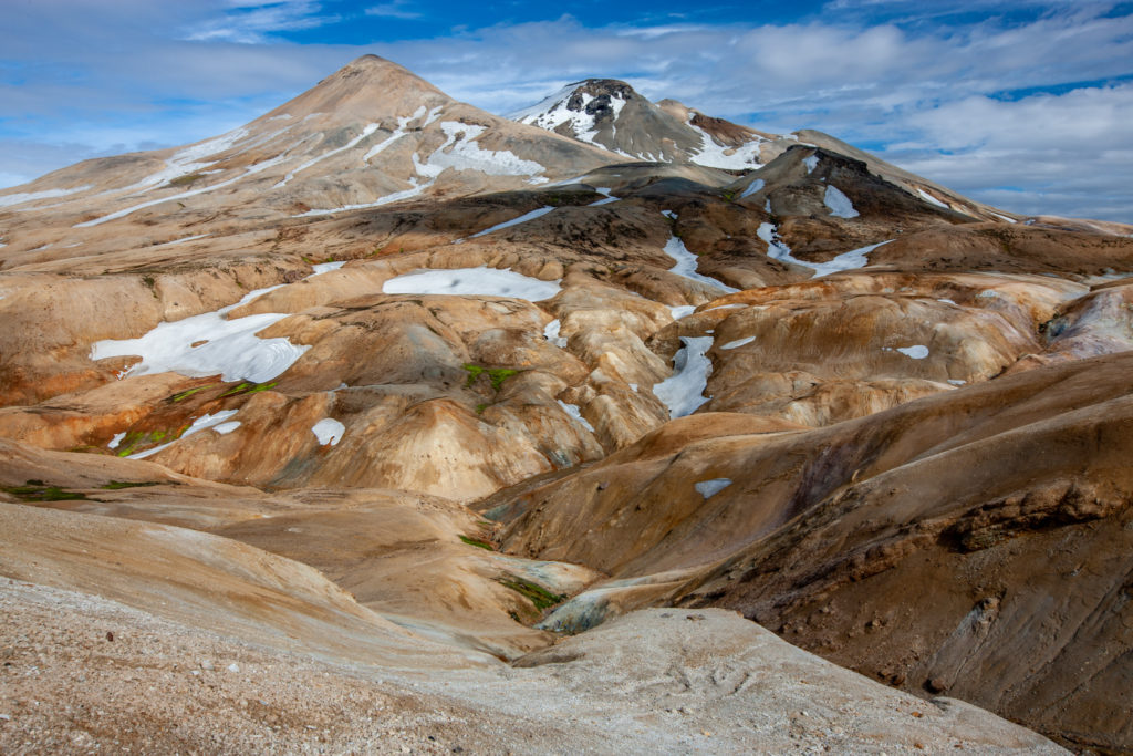
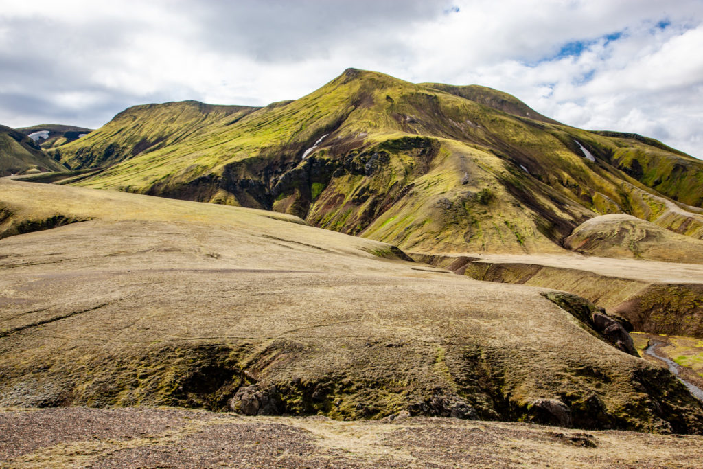
Kerlingarfjöll alias Čarodějné horyPŘIBLÍŽIT
Detail geotermální oblasti v KerlingarfjöllPŘIBLÍŽIT
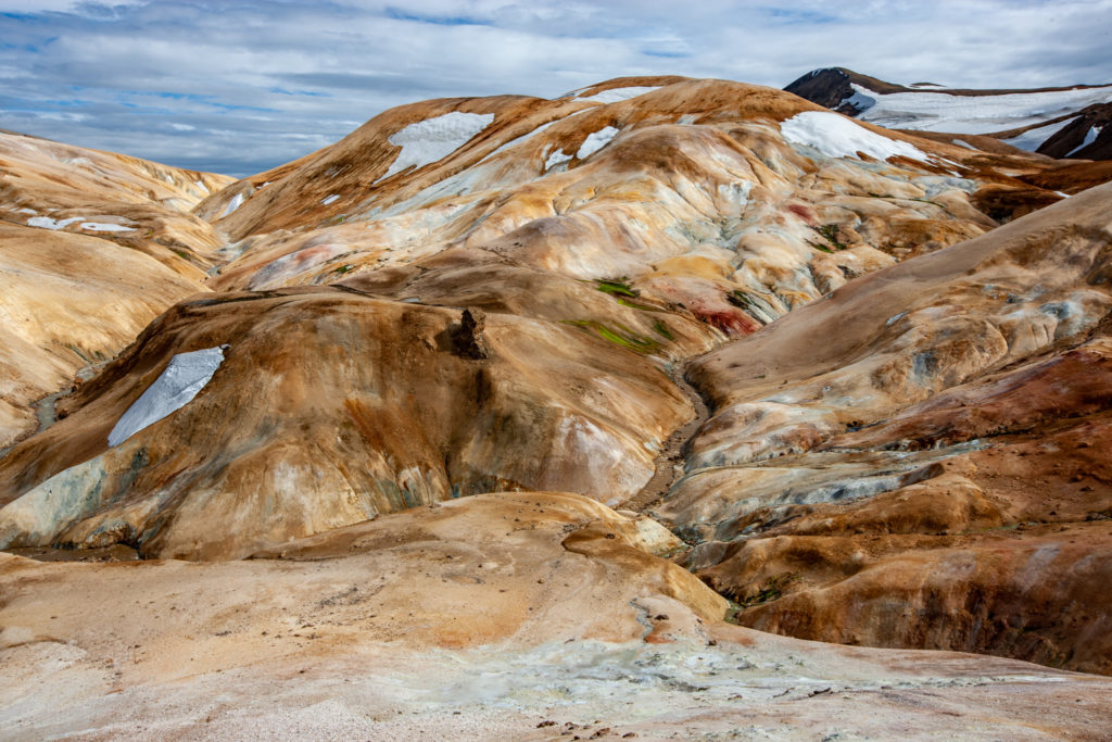
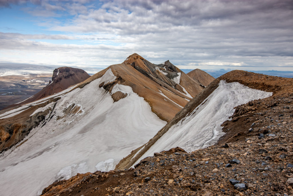
Vrcholový hřeben KerlingarfjöllPŘIBLÍŽIT
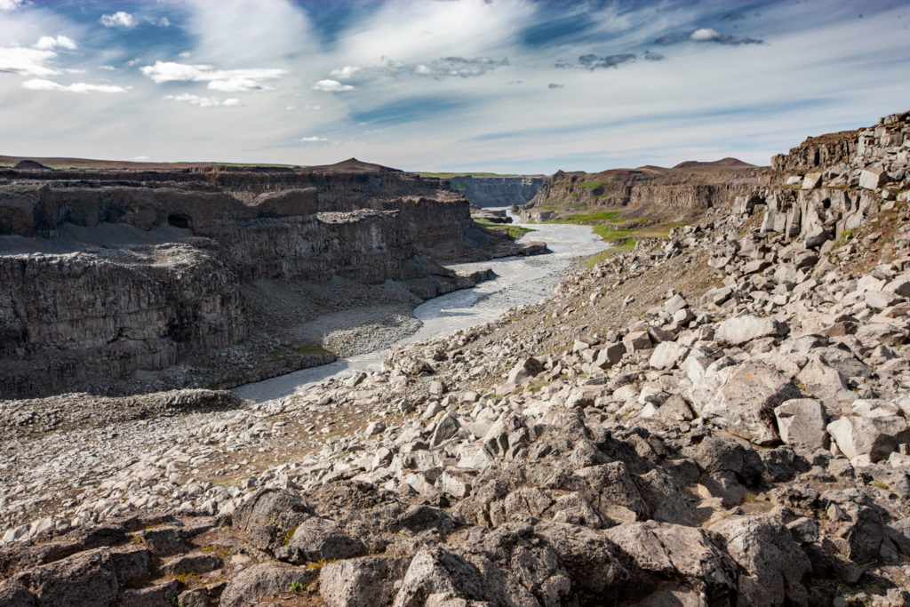
Kaňon řeky Jökulsá á FjölumPŘIBLÍŽIT
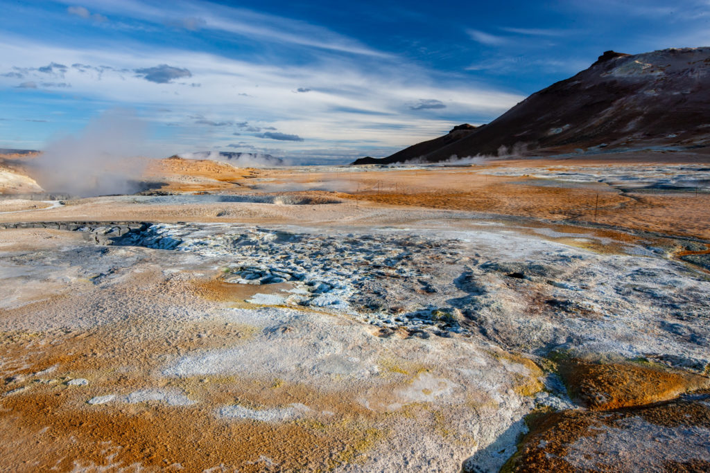
Námafjall, geotermální pole HverirPŘIBLÍŽIT
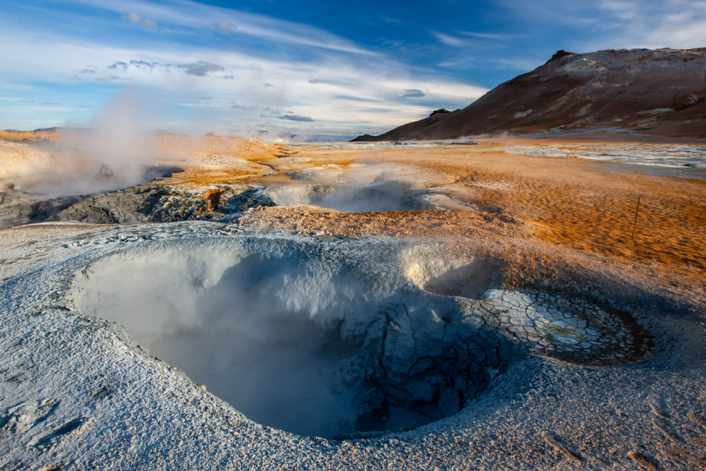
Fumaroly v HverirPŘIBLÍŽIT
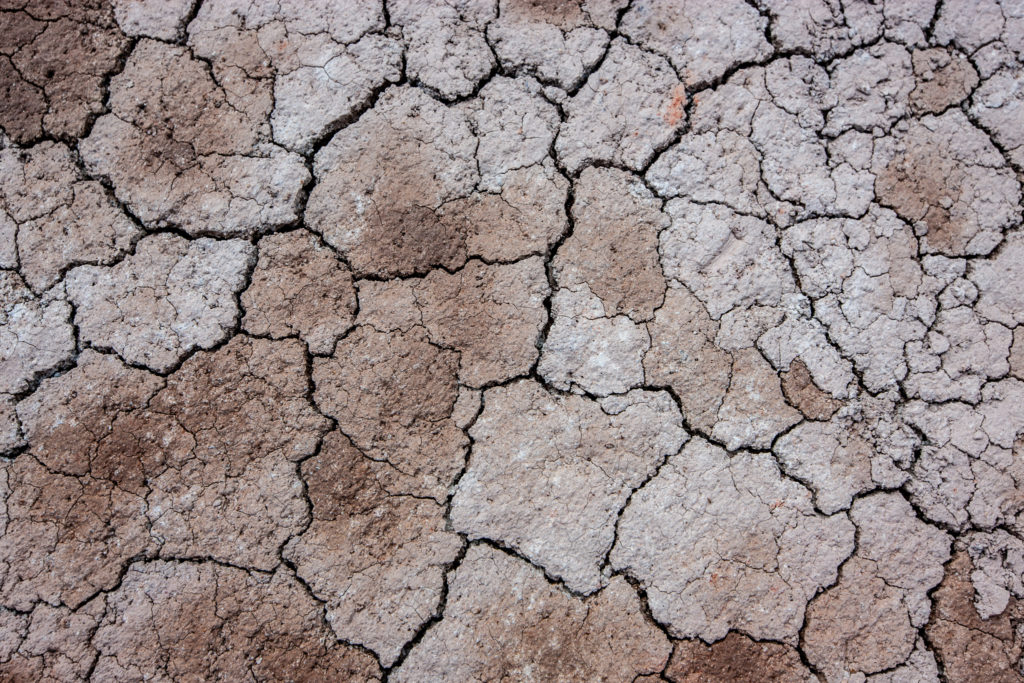
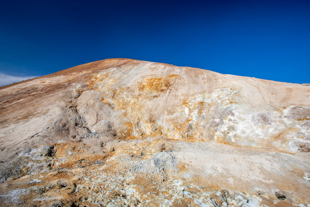
Vyschlá zem v NámafjallPŘIBLÍŽIT
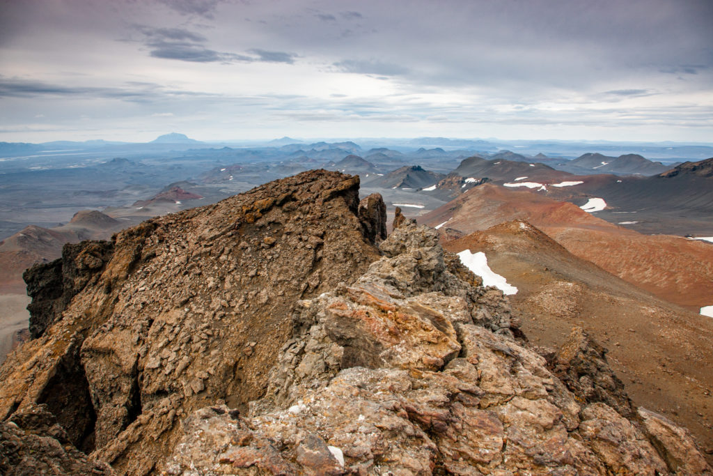
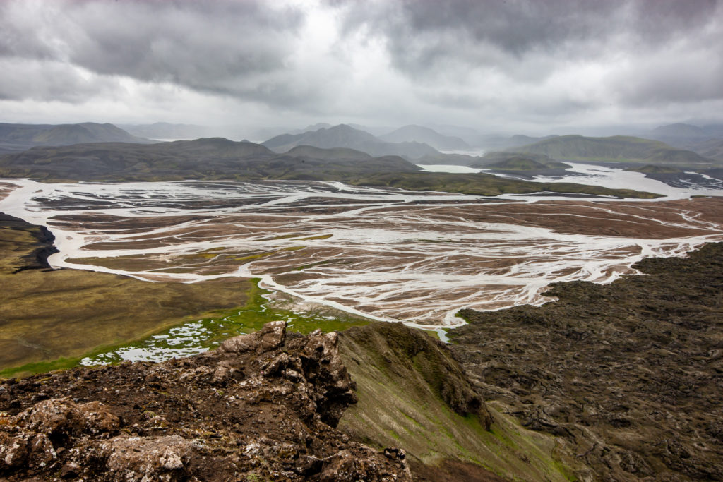
Pohled z Biskupsfell na centrální vysočinuPŘIBLÍŽIT
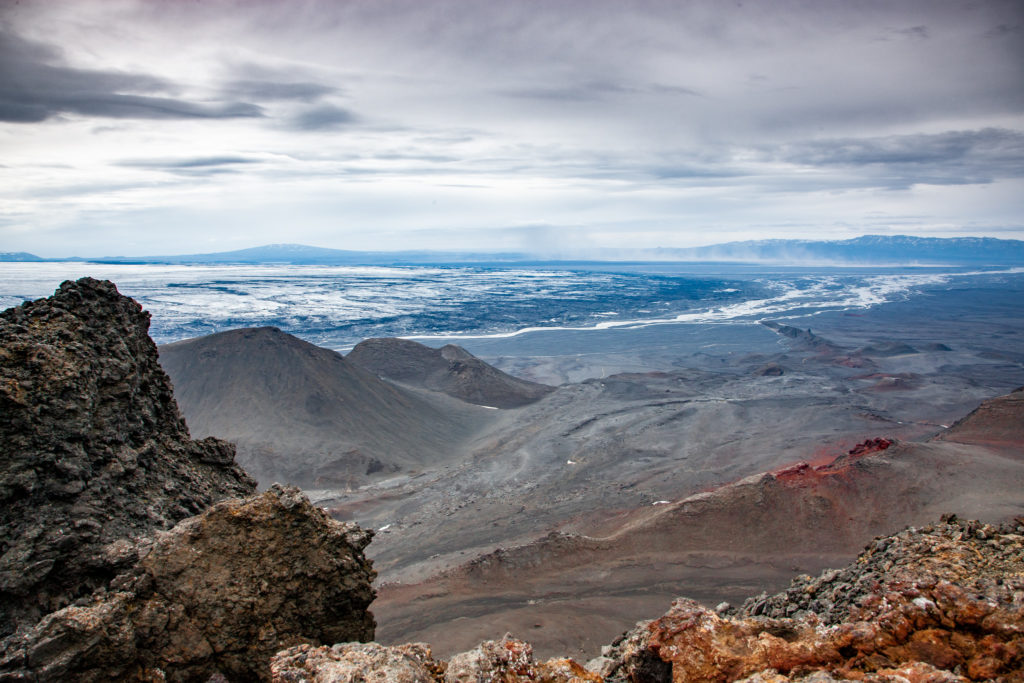
Pohled z hřebene Biskupsfell na VirkisfellPŘIBLÍŽIT
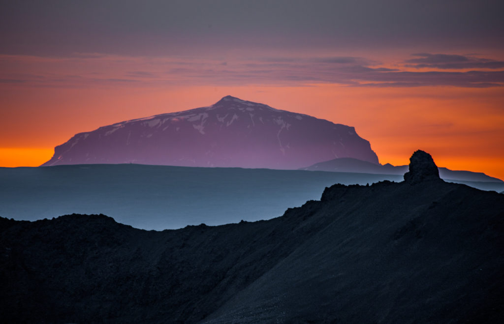
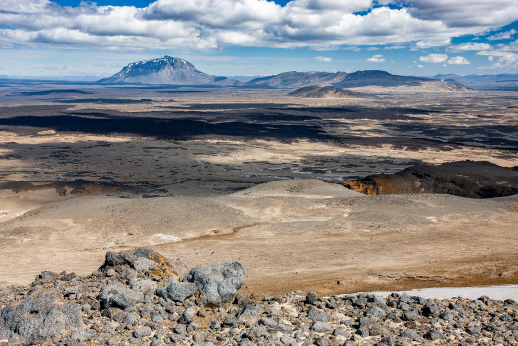
Sopka Herðubreið (1 682 m).PŘIBLÍŽIT
Neznačená silnice pod Herðubreið (1 682 m)PŘIBLÍŽIT
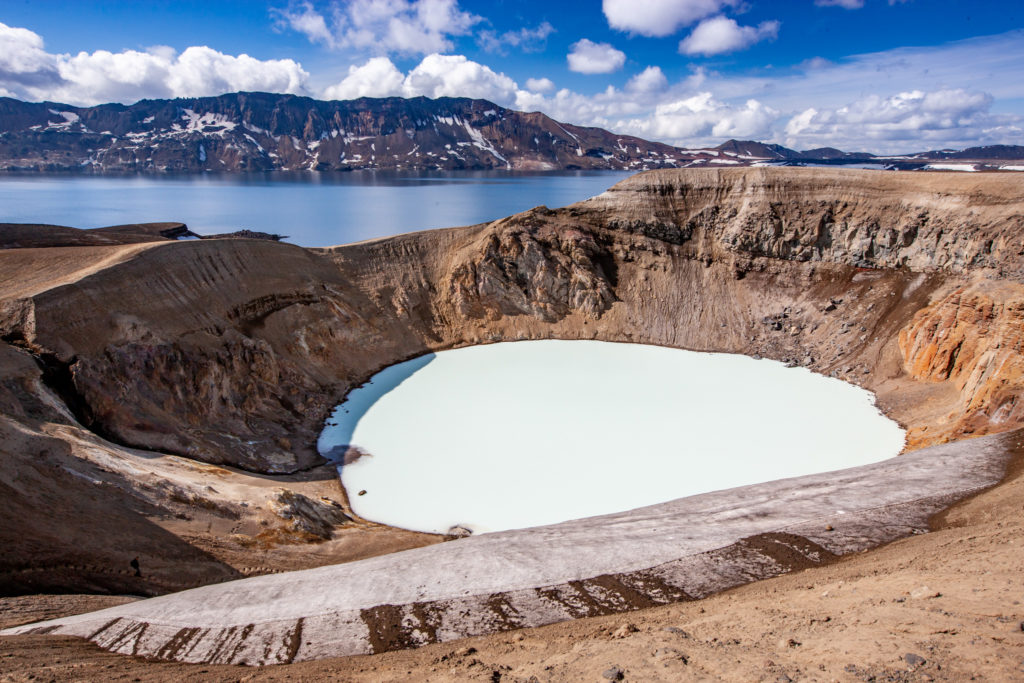
Öskjuvatn a VítiPŘIBLÍŽIT
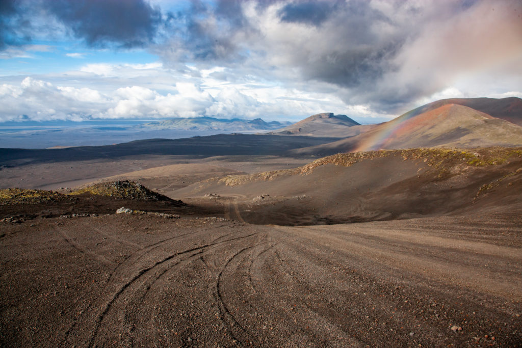
Výhledy z cesty mezi Öskjuvatn a DrekiPŘIBLÍŽIT
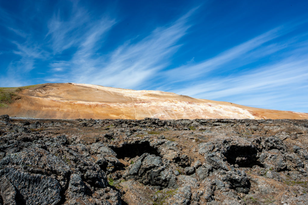
Barvy sopky KraflaPŘIBLÍŽIT
Lávové pole Leirhnjúkshraun, KraflaPŘIBLÍŽIT
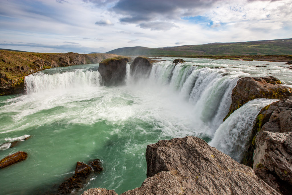
Godafoss: severní počátek F26 SprengisandurPŘIBLÍŽIT
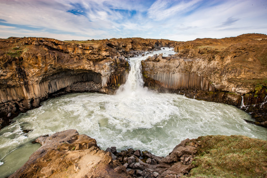
Vodopád AldeyjarfossPŘIBLÍŽIT
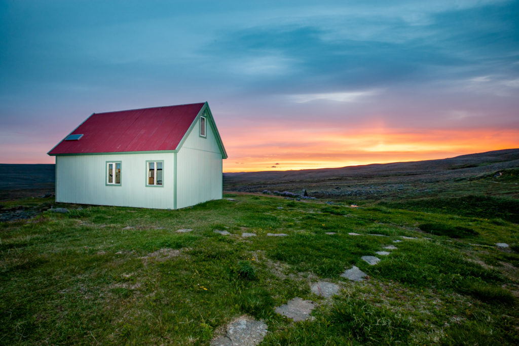
Ubytování v LaugafellPŘIBLÍŽIT
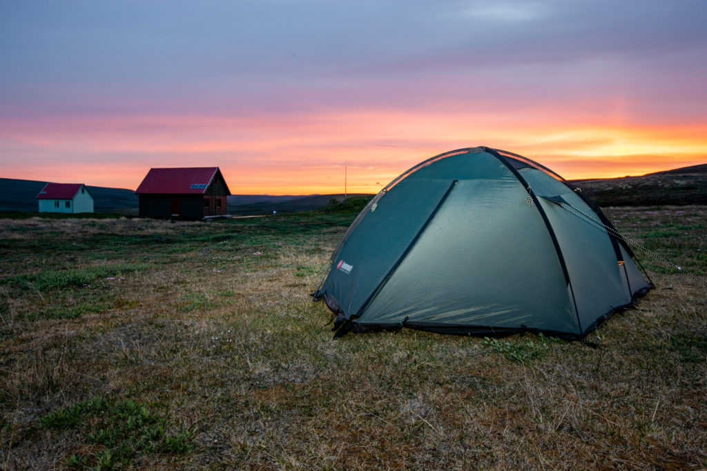
Větrný kemp v LaugafelluPŘIBLÍŽIT
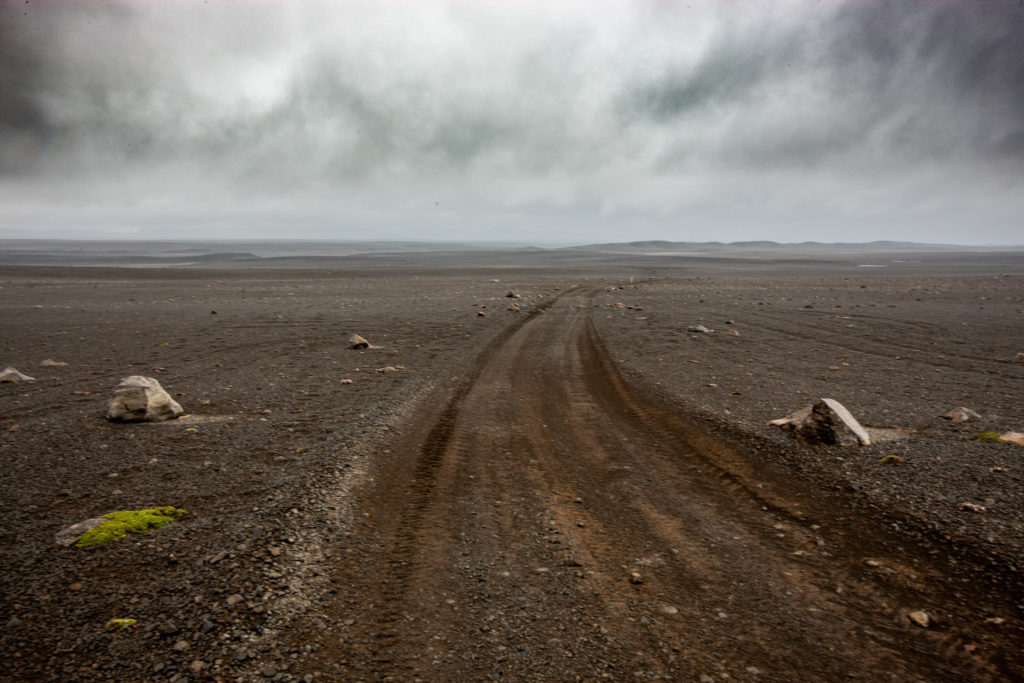
F26 a větrná náhorní planinaPŘIBLÍŽIT
„Ošklivý“ kráter LjótipollurPŘIBLÍŽIT
Pohled na řeku Tungnáa z vrcholu Nurðurnámur (788 m)PŘIBLÍŽIT
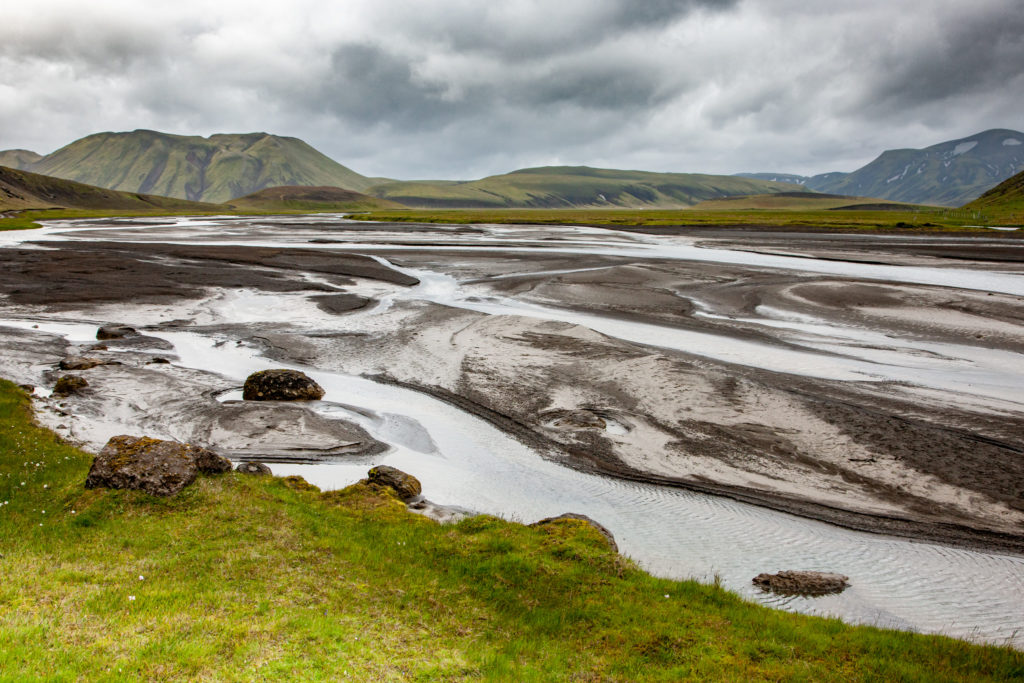
Řeka Helliskvísl těsně před LanmannaheliremPŘIBLÍŽIT
Půlnoční slunce v LandmannaheliruPŘIBLÍŽIT
Vrchol Loðmundur (1051 m)PŘIBLÍŽIT
Vodopád Ӧarufoss v trhlině EldgjáPŘIBLÍŽIT
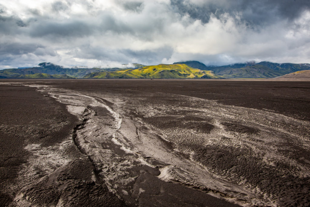
Malifellssandur, jedna z velkých překážek na F210PŘIBLÍŽIT
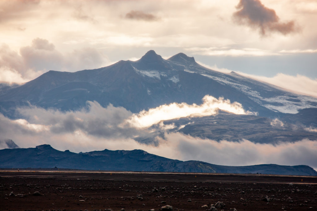
Hory, trčící z ledovce MýrdalsjökullPŘIBLÍŽIT
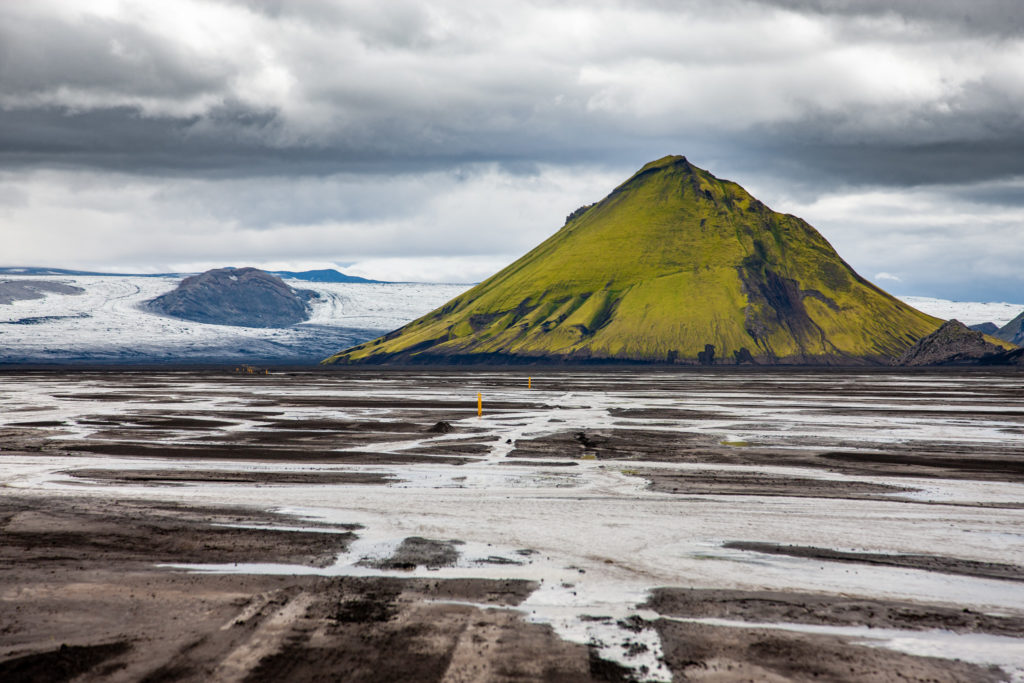
Oblasti tekoucího bahna na černé poušti MalifellssandurPŘIBLÍŽIT
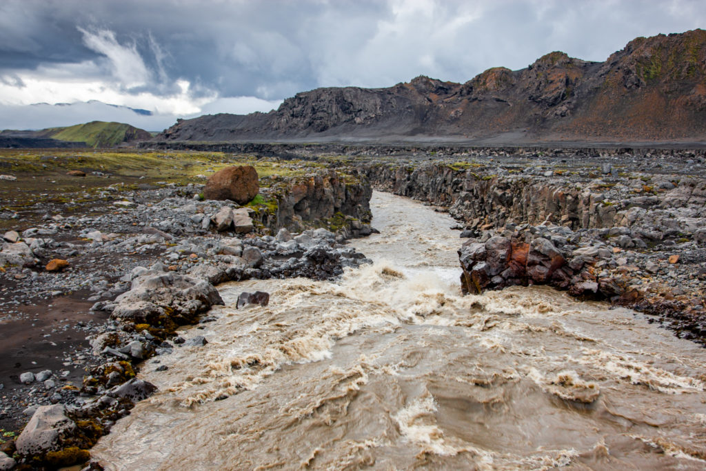
Řeka Markarfljót u chaty MósarPŘIBLÍŽIT
Pohled na Alftavatn z cesty na HrafntinnuskerPŘIBLÍŽIT
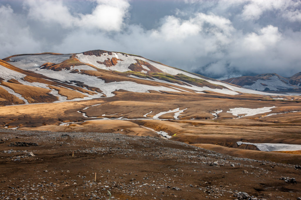
Okolí chaty HrafntinnuskerPŘIBLÍŽIT
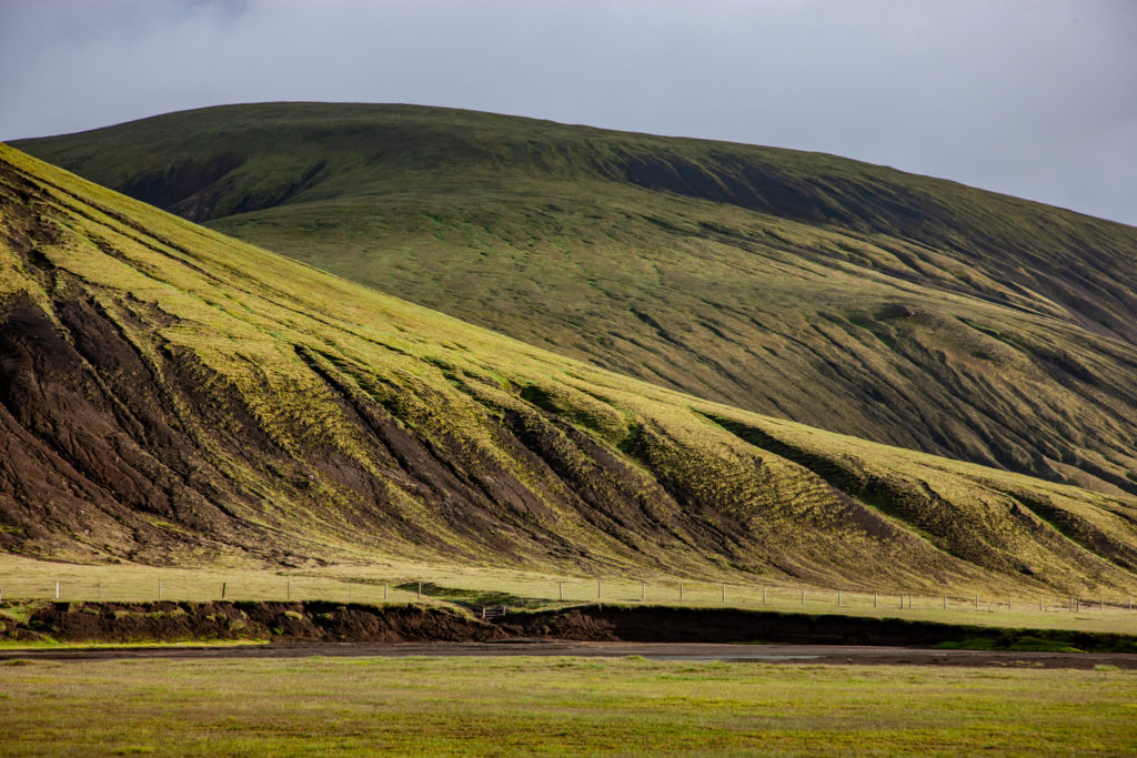
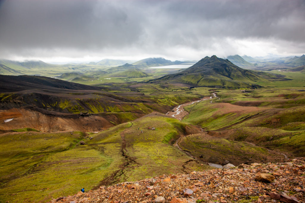
Krajina u F210 mezi Alftavatn a KrókurPŘIBLÍŽIT
Prudký výjezd na hřeben HeklyPŘIBLÍŽIT
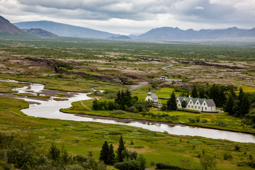
Okolí ÞingvellirPŘIBLÍŽIT
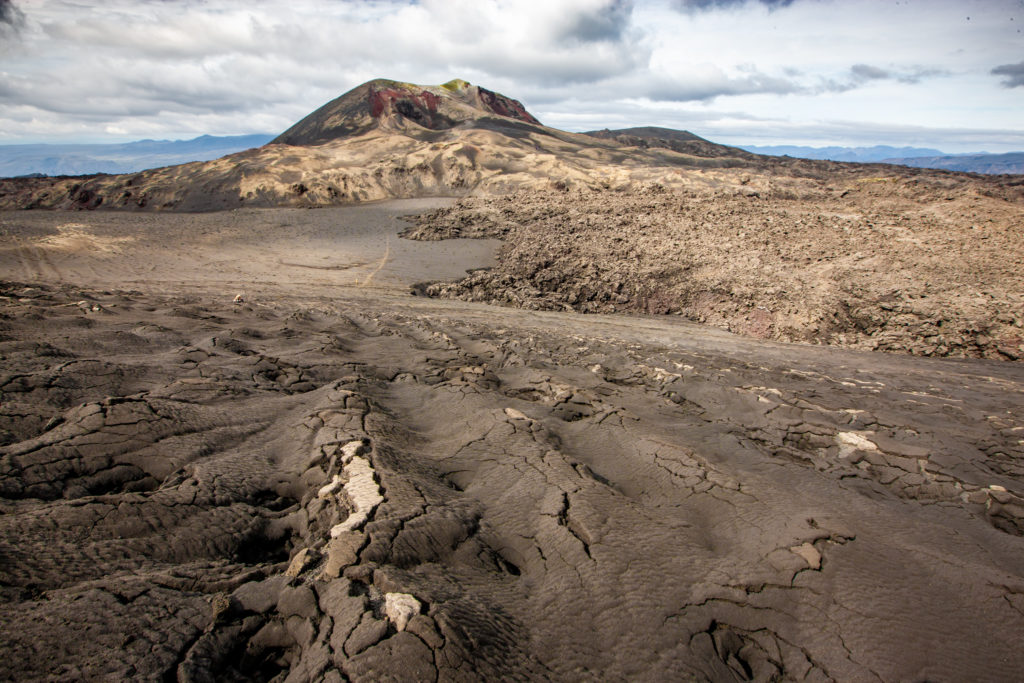
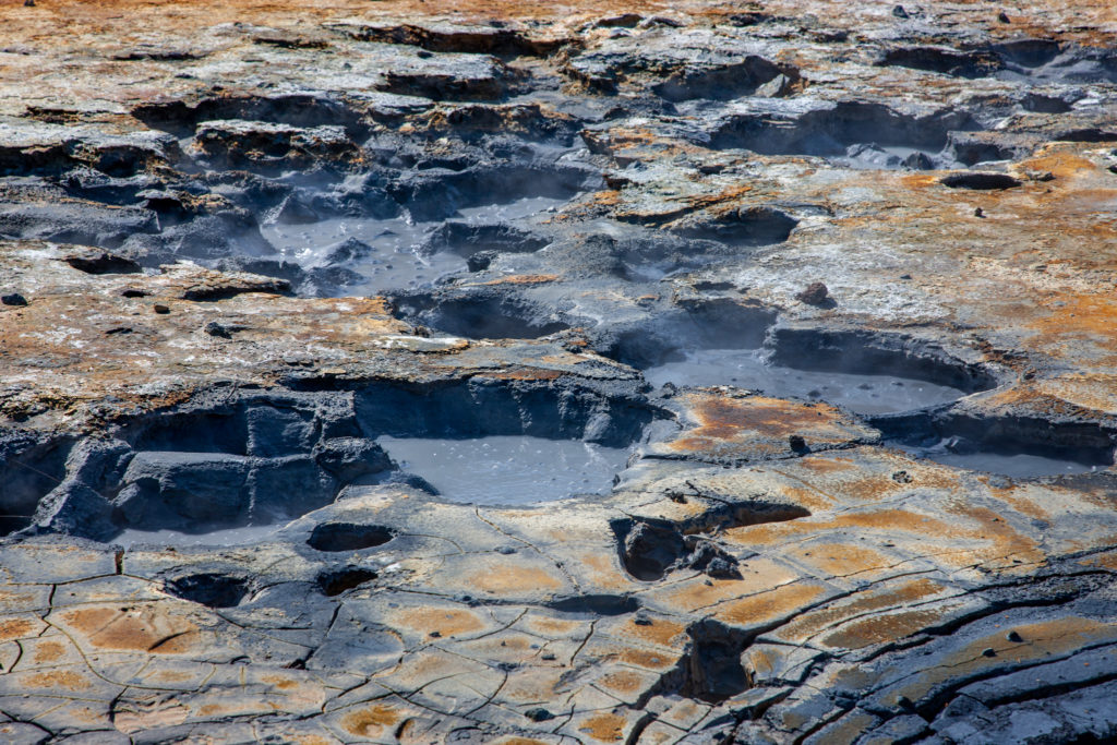
Bahenní sopky ve VesturhálsPŘIBLÍŽIT
 Martin Cígler