Aragac, nejvyšší hora Arménie

Srpen, 2015
Celkem 10 fotografií
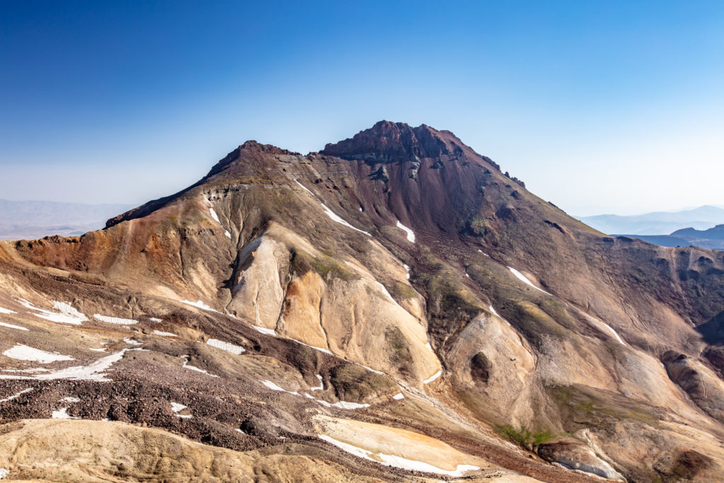
Arménci sice dodnes za svoji nejvyšší horu považují Ararat, ale ten dnes leží na území Turecka. A tak nevyšším bodem Arménie je severní vrchol sopky Aragac (4 095 m). Až do 3 200 m se dá dostat pohodlně autem, dál už musíte pěšky. Na jižní vrchol (3 890 m) se dostanete celkem rychle, severní už ale dá pořádně zabrat.
Pohled na Aragac, nejvyšší horu ArméniePŘIBLÍŽIT
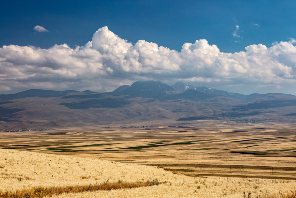
Podhůří AragacuPŘIBLÍŽIT
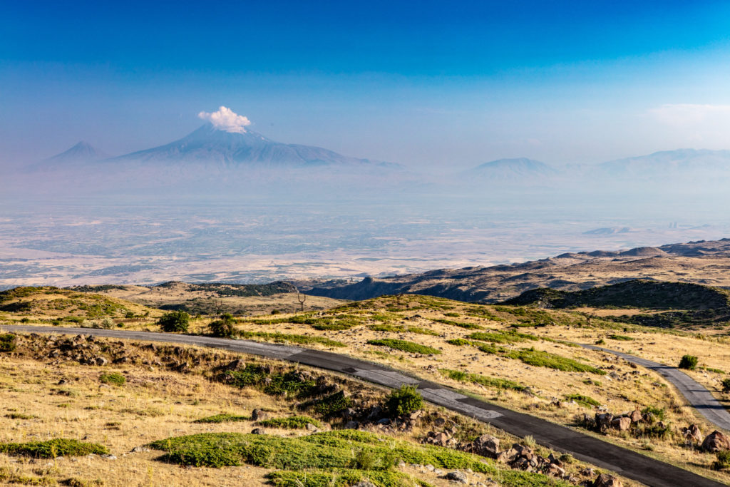
Silnice ke Kari LakePŘIBLÍŽIT
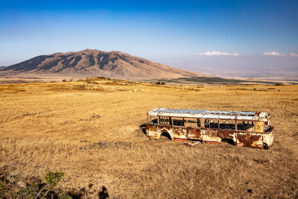
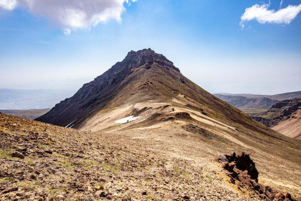
Výstupová trasa na AragacPŘIBLÍŽIT
Severní vrchol Aragatsu (4 095 m)PŘIBLÍŽIT
Aragac, severní sedlo (3 800 m)PŘIBLÍŽIT
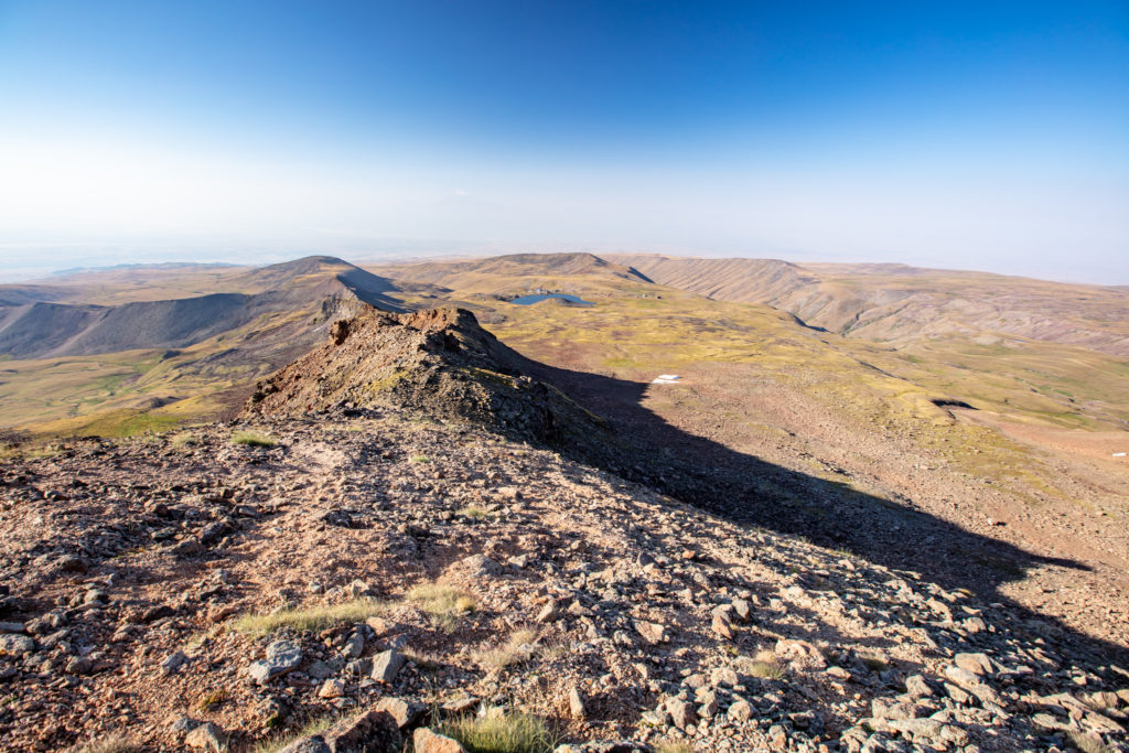
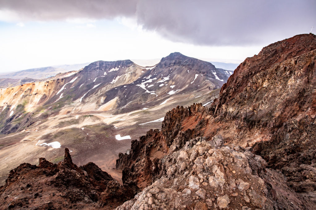
Pohled ze severního vrcholuPŘIBLÍŽIT
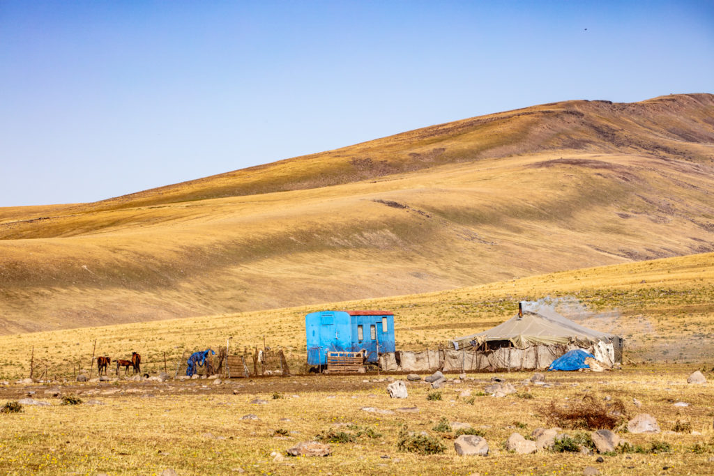
Pastevci pod AragacemPŘIBLÍŽIT
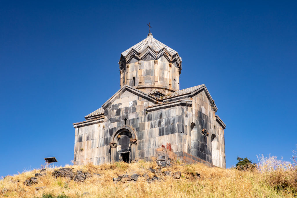
Kostel v pevnosti AmberdPŘIBLÍŽIT
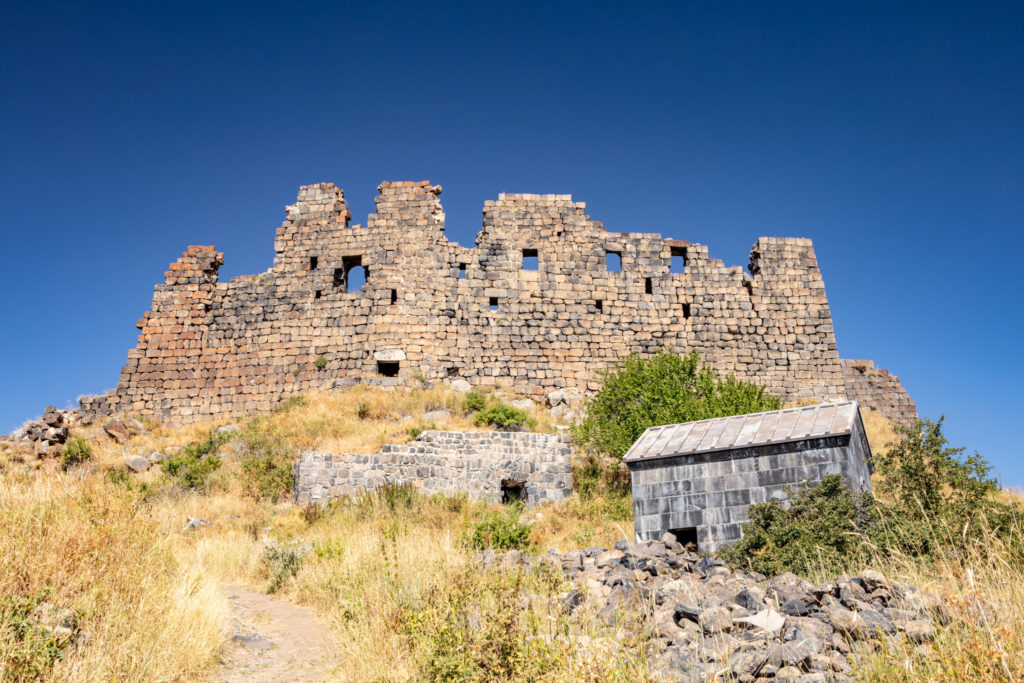
Pevnost AmberdPŘIBLÍŽIT
Další navštívená místa v Arménii
 Martin Cígler